Experimental
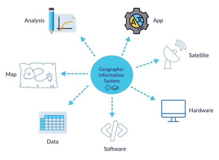
The GIS Portal offers comprehensive geospatial data, facilitating informed decision-making for efficient water resource management.
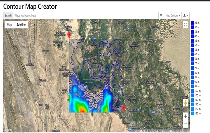
This app allows efficient visualization and analysis of land elevations, aiding in planning and water evacuation.
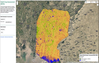
This tool leverages Sentinel-2A imagery and offers in-depth crop assessments for Sindh province.
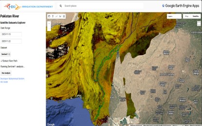
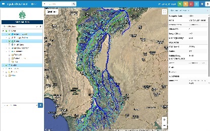
This tool leverages Sentinel-2A and Landsat imagery and offers in-depth Pak rivers .
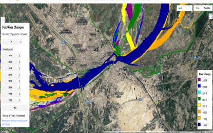
This tool leverages Landsat imagery and offers changes in rivers path .
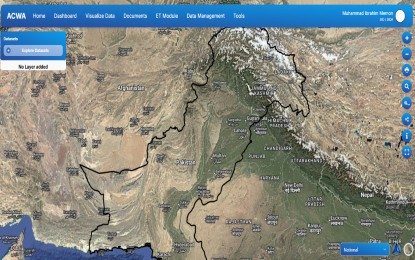
GCF-FAO Project ACWA Portal combines field and remtoe sensing data.
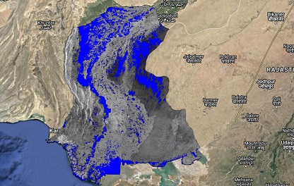
This app predicts flood-prone areas using advanced geospatial analysis. It aids in effective disaster preparedness and evacuation planning to mitigate flood-related risks.
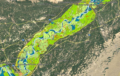
The app outlines physical features and layout of the lower Indus River basin, crucial for flood management, environmental planning, and water resource strategies.
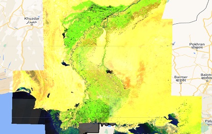
Sentinel-2A offers high-resolution, multispectral satellite imagery for monitoring land use and vegetation health,the data is vital for informed decision-making in disaster response.