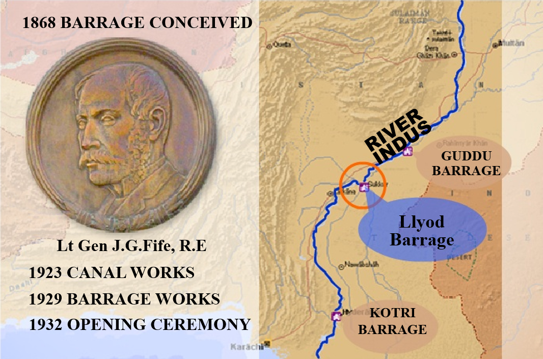
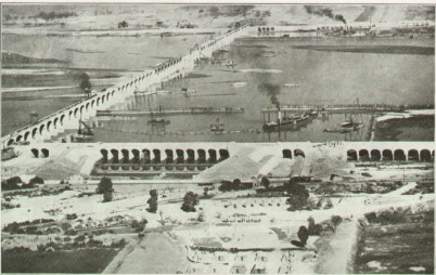
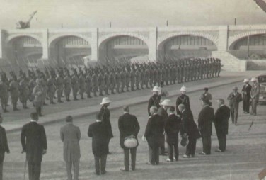
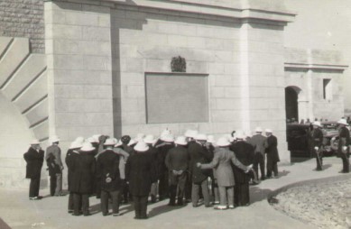
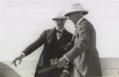
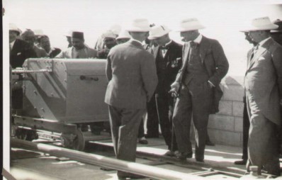
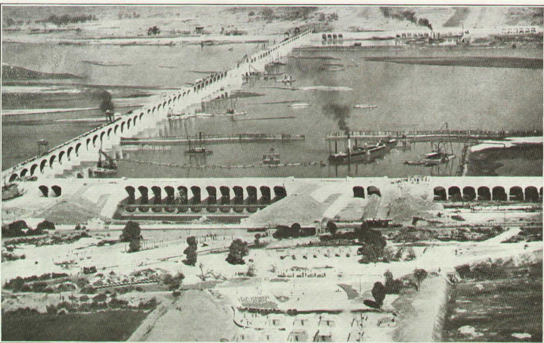
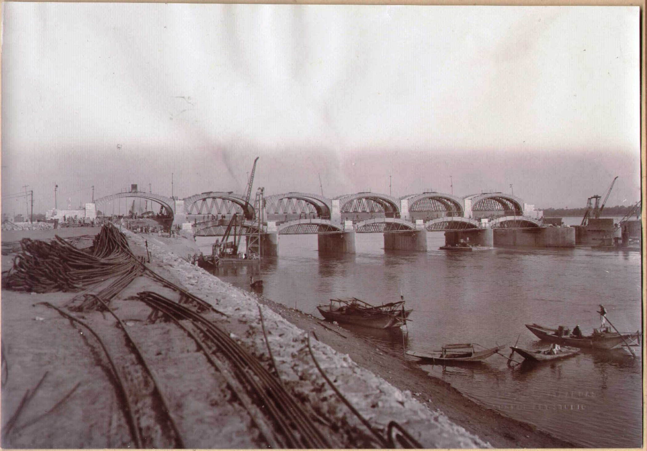
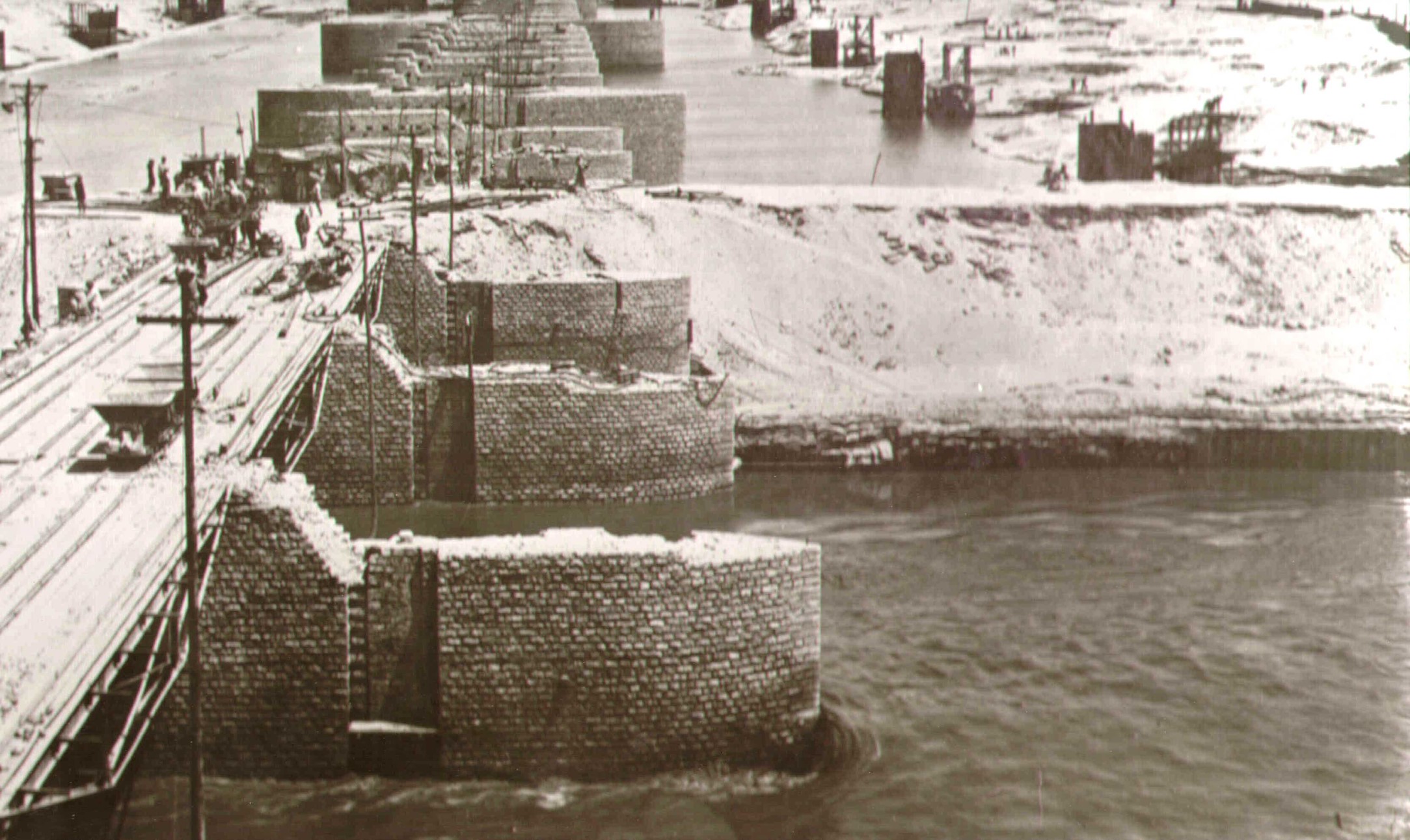
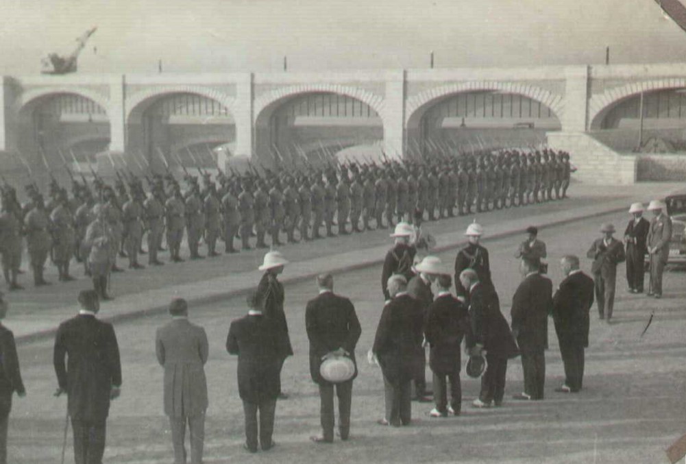
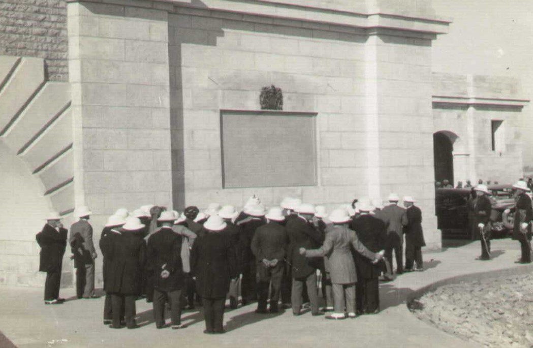
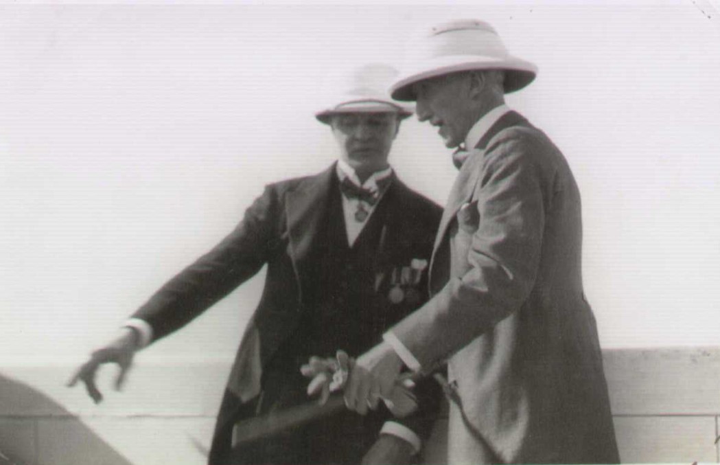
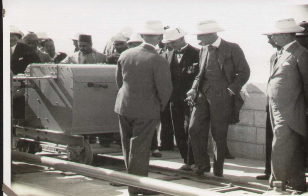
Background : The Sukkur Barrage stands as a testament to engineering prowess and historic significance in irrigation systems. Conceived by Mr. C. A. Fife in 1868 and materialized under the supervision of Sir Arnold Musto, its construction was sanctioned on June 9, 1923. Commencing work on July 1, 1923, this colossal structure became operational on January 13, 1932, with an inauguration by then Bombay Governor Mr. Lloyd George, earning its name in honor of him.
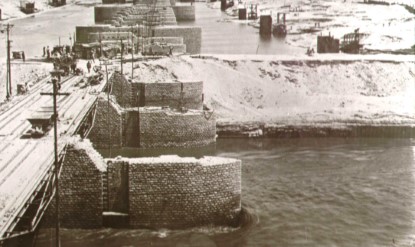
Designed on Bligh’s creep theory, this Barrage, spanning an impressive 4925 feet, remains a marvel. Its construction cost a staggering 200 million, with 40.4 million dedicated to the Barrage Head Works and an additional 1.4 million for Training Works in 1941.
Key features include an original design discharge of 1.5 million cusecs, capable of safely handling 0.9 million cusecs after the closure of 10 gates. During the high floods of 1976, it managed a maximum discharge of 1.2 million cusecs, with a peak level reaching 200.9. The scouring sluices crest level is at 176.0, while the designed pond level is 195.5, operating at a working maximum of 198.6.
The Barrage's canals are a vital part of its functionality, with a total length of 6473 miles. Notable among these are the left bank canals—Khairpur East, Rohri Canal, Khairpur West, and the Nara Canal, the longest among them at 226 miles. This extensive network of canals and watercourses spanning 47800 miles contributes significantly to the largest irrigation system globally, serving as a lifeline for agriculture and communities in the region.
|
|
||
| I. | Year of Operation | 1932 |
| II. | Design Discharge (original) | 1.5 M. Cusecs |
| Safe discharge after closure of 10 gates | 0.9 M. cusecs | |
| III. | Maximum High Flood Discharge 1976 | 1.2 M. Cusecs |
| IV. | Maximum High Flood Level | 200.9 |
| V. | Crest Level of Scouring Sluices | 176.0 |
| VI. | Pond Level (Design) | 195.5 |
| VII. | Pond Level (Working Maximum) | 198.6 |
| VIII. | Pond Level (Working Maximum) | 198.6 |
| IX. | Design Water way . | 3960 feet |
| X. | Working water way after River Training Works | 3360 feet |
| XI. | Number of bays, including 10 closed bays | 66 |
| XII. | Width of bay | 60 feet |
| XIII. | Number of Divide walls | 2 |
| XIV. | Total Length of Canals | 6473 miles |
| XV. | Total Length of Water Courses | 47800 miles |
| XVI. | Longest Canal (Nara) | 226 miles |
Sukkur Barrage Left Bank Region
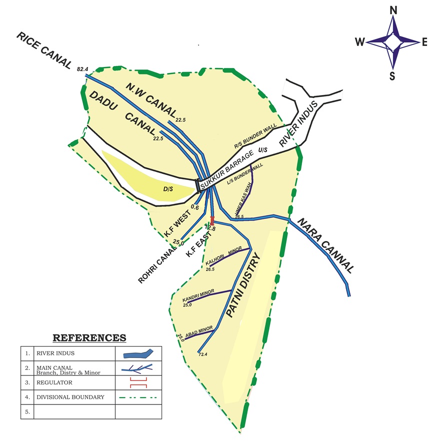
Sukkur Barrage Left Bank Region
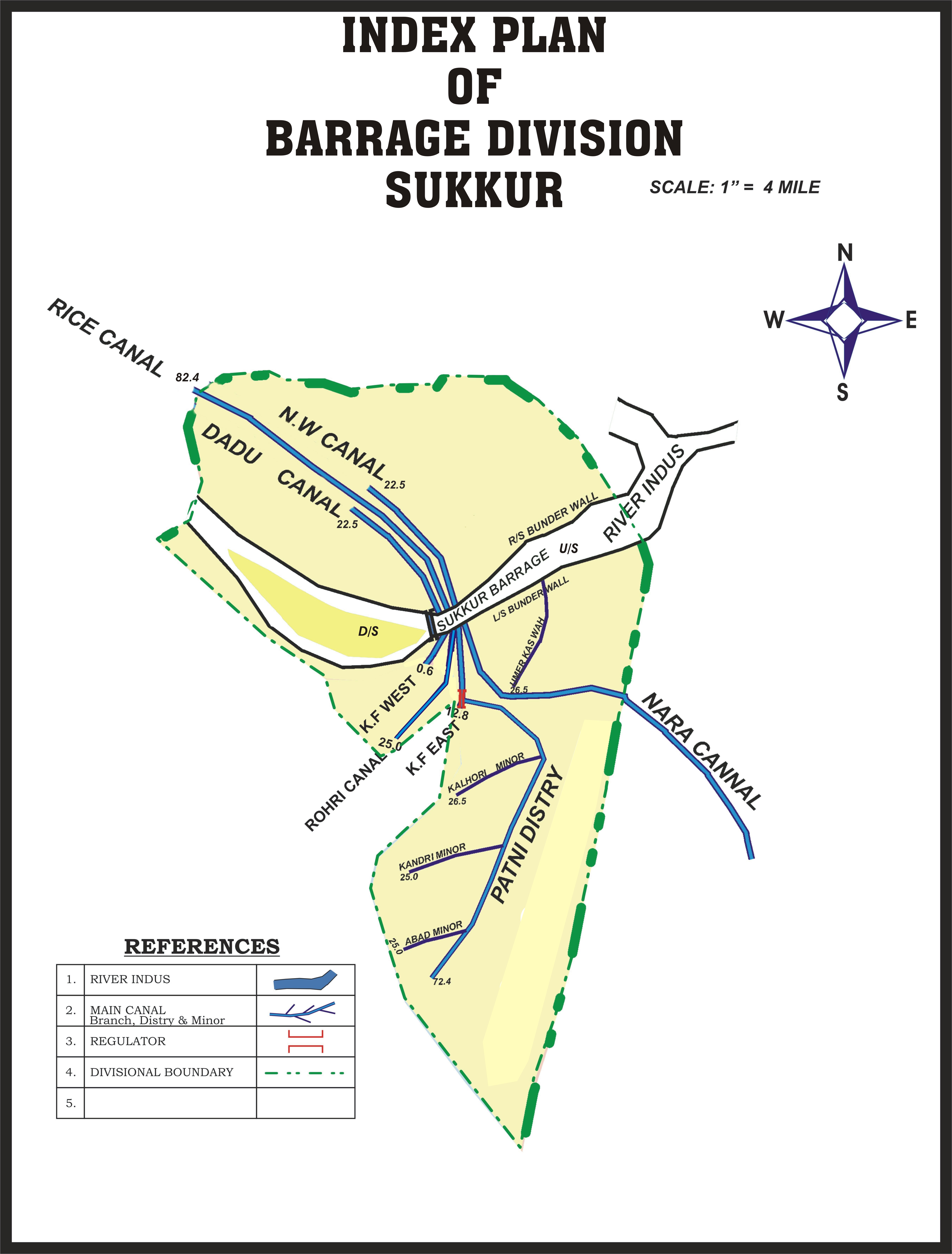
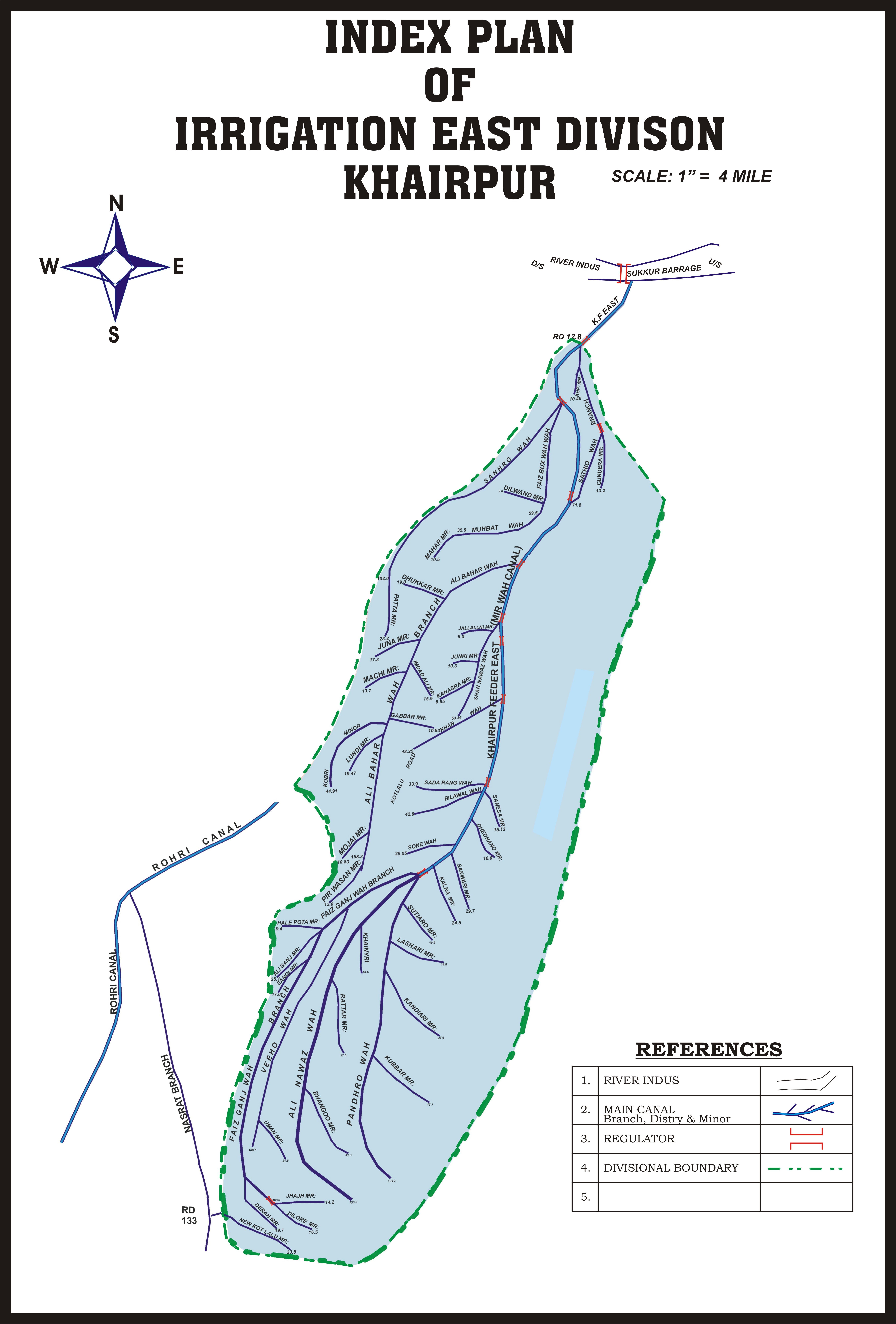
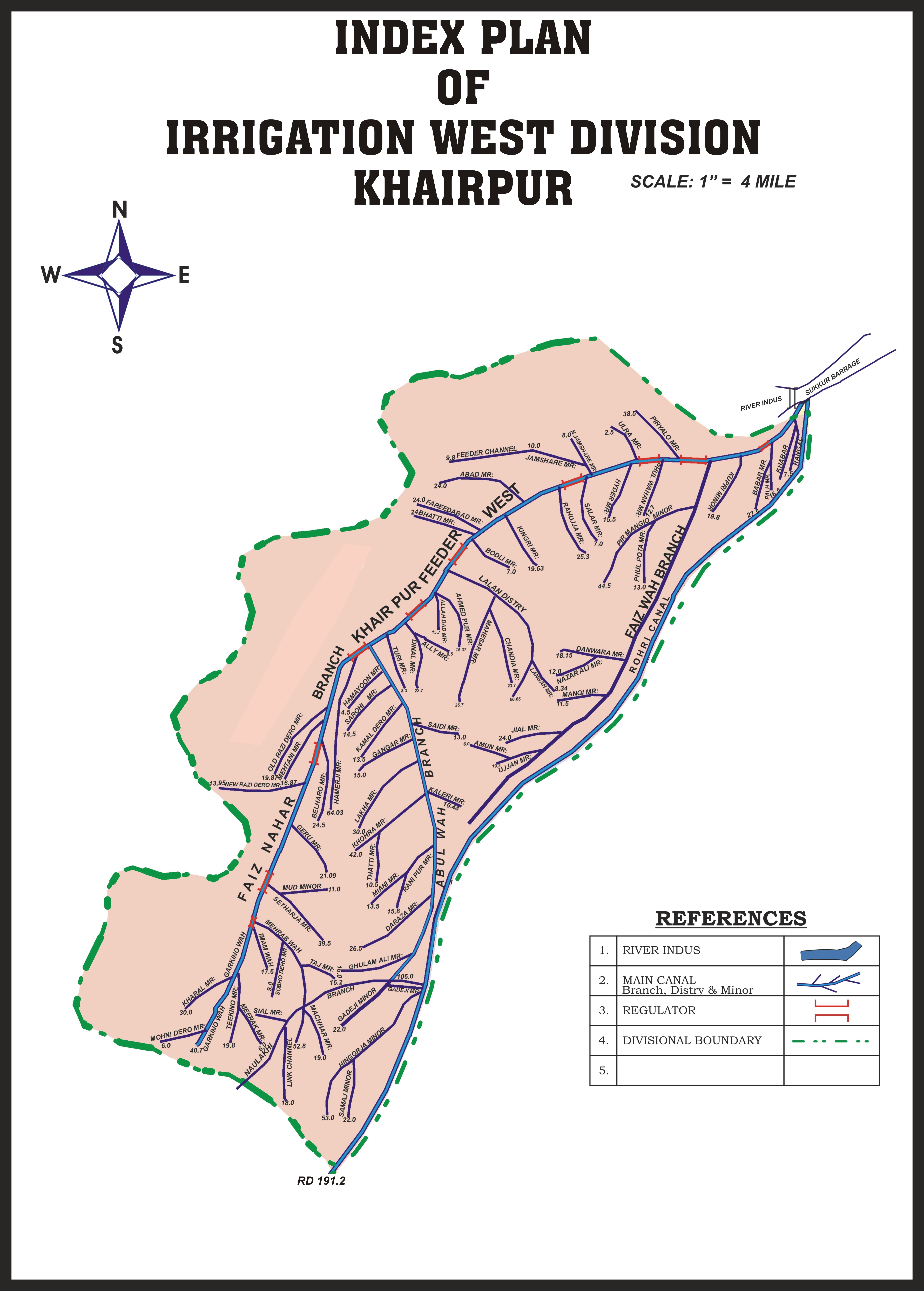
| K.F WEST | ROHRI CANAL | K. F EAST | NARA CANAL | Total | |
Irrigation Channels Details |
|||||
| Main Canal | 01 | 01 | 01 | 01 | 04 |
| Branch | - | 16 | 03 | 13 | 32 |
| Distributaries | 06 | 71 | 12 | 47 | 136 |
| Minors | 67 | 197 | 63 | 134 | 461 |
| Total | 74 | 285 | 79 | 195 | 633 |
Detail of CANALS. |
|||||
| Length in Miles | 41.9 | 208 | 58.6 | 226 | 534.5 |
| GCA ( M-Acres ) | 0.41 | 2.90 | 0.53 | 2.22 | 6.06 |
| CCA M-Acres | 0.322 | 2.61 | 0.37 | 2.14 | 5.442 |
| Designed Discharge (Cusecs) | 1,940 | 10,887 | 2,094 | 13,649 | |
| Peak Demand ( Cusecs) | 2,648 | 16,385 | 3,440 | 14,452 | |
Sukkur Barrage Left Bank Region
Salient Features of Bunds |
||||
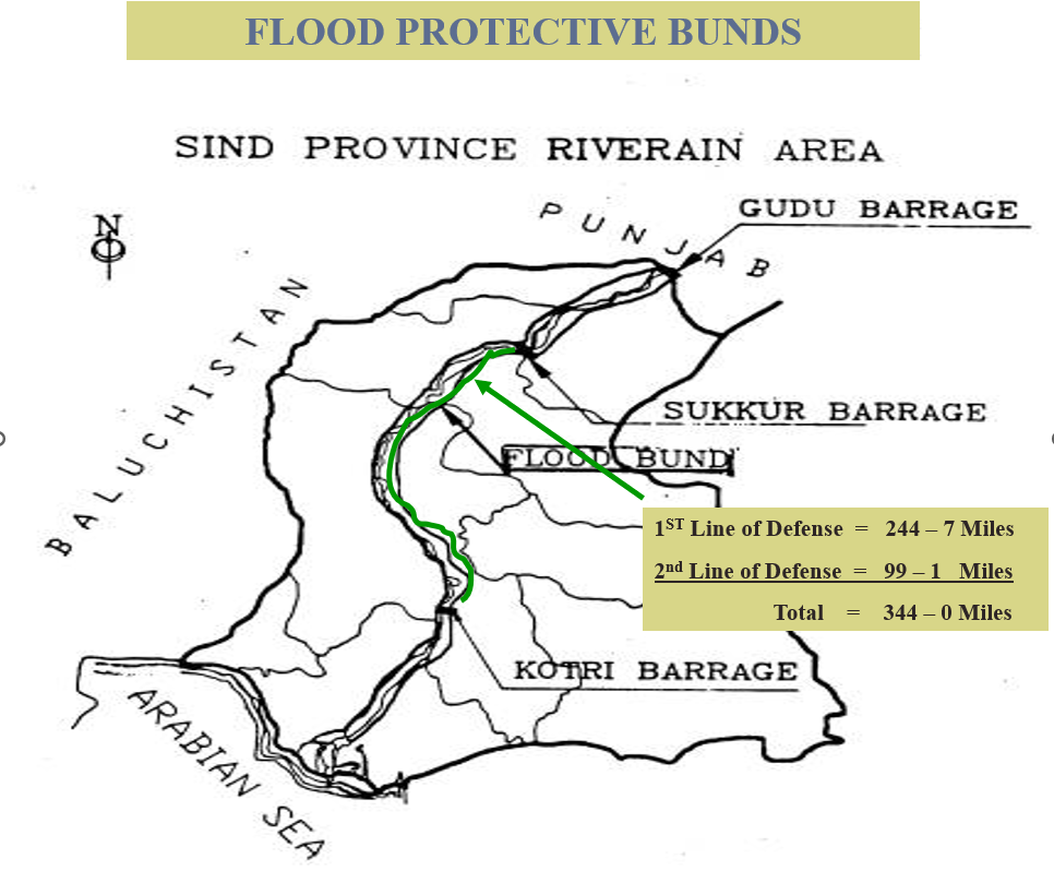
| Name of District | First Line Bund | Second Line Bund | Total Length | SPURS |
| Khairpur | 71-3 | 54-3 | 334-0 Miles | 12 NOs |
| Naushahro | 68-5 | 25-0 | ||
| Shaheed Benazirabad (SBA) | 54-1 | 8-3 | ||
| Matiari | 50-6 | 11-5 | ||
| Total Miles | 244-7 | 99-1 | ||
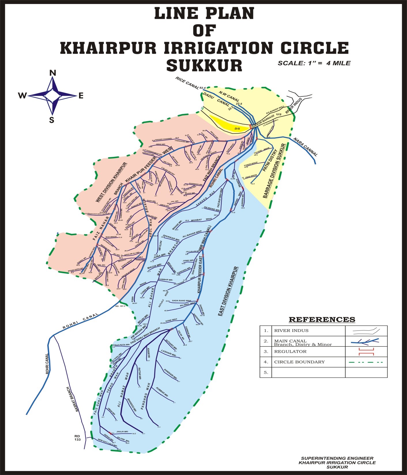
| NAME OF DIVISION | MAIN CANALS | BRANCHES | DISTRIBUTARIES | MINORS | WC/ Outlet |
| Barrage Division Sukkur | 07 | - | 01 | 03 | 132 |
| Irrigation West Division Khairpur | 01 | 02 | 04 | 65 | 1586 |
| Irrigation East Division Khairpur | 01 | 03 | 07 | 39 | 1616 |
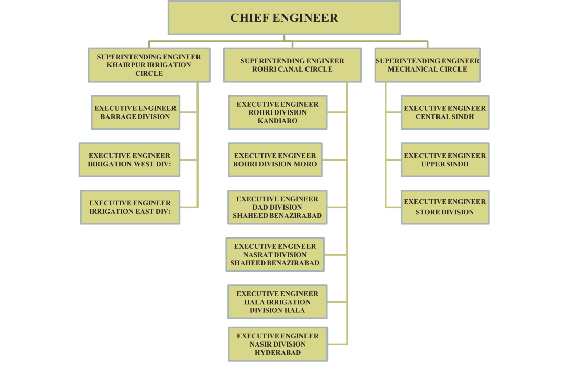
| Total Khairpur Irrigation Circle Sukkur | 09 | 05 | 12 | 107 | 3334 |
| Name Of division | Main Canals | Branches | Distributaries | Minors | WC/ Outlet |
| Rohri Division | 01 | 04 | 13 | 46 | 1198 |
| Dad Division S.B.A | 01 | 01 | 08 | 24 | 1201 |
| Nasrat Division S.B.A | - | 03 | 13 | 44 | 1034 |
| Hala Division | 01 | 05 | 16 | 46 | 1224 |
| Nasir Division Hyderabad | 01 | 03 | 20 | 39 | 1169 |
| Total Rohri Canal Circle Hyderabad | 01 | 16 | 70 | 199 | 5806 |

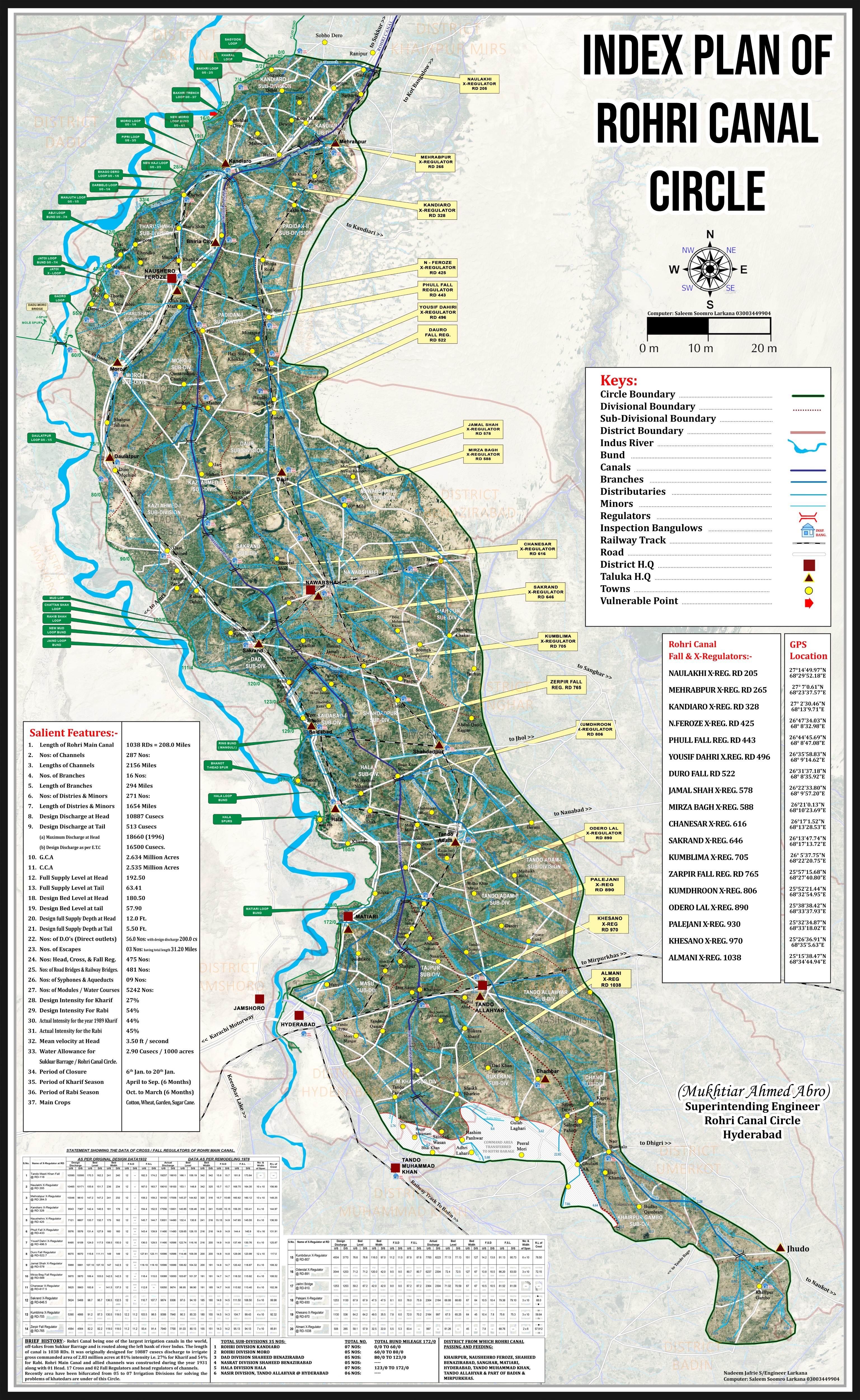
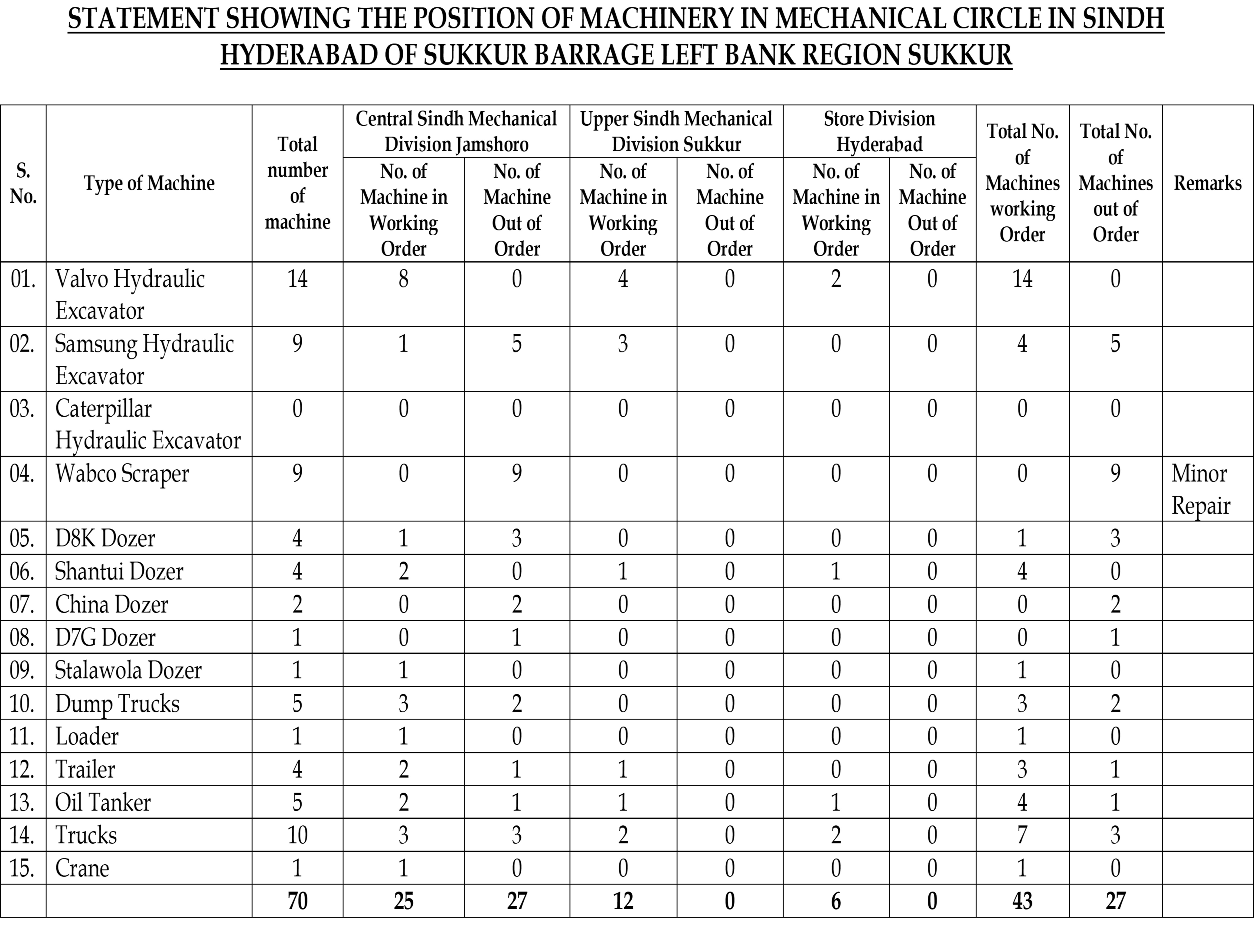
It is situated across River Indus, about 300 miles North East of Karachi. The Barrage is built on River Indus about 3 miles below the Railway Bridge, or the Sukkur Gorge. The idea of Sukkur Barrage, Barrage was conceived by Mr. C.A .Fife, in the year 1868, however, the project was finally sanctioned in 1923. The Head Works and Canals were completed by 1932. The Sukkur Barrage, is the pride of Pakistan’s Irrigation system and his the largest single Irrigation work of its kind in the whole world.
This Barrage which is the backbone of the economy of the entire Country through its net-work of Canals providing Irrigation supplies or an area of 7.63 million acres which forms approximately 25% of total canal irrigated area of the country. The Nara canal which is one of the 7 Canals off taking from this Barrage is the longest canal of this country, carrying discharge almost equal to that of Thames River at London and its bed width which is 346 ft. is 1 ½ (one and half) times as big as of Suez Canal. In fact Nara Canal is not a man-made canal has it was the southern-most part of Hakro River which emanated from the foot hills of Sutlej which after traversing through the Punjab and Bhawalpur Plains joined Nara through Raini River, the remnants of which are still exiting in Ghotki Taluka.
This Canal caters for an area of 2.3 million acres which is nearly equivalent to the entire Sindh area settled on Guddu Barrage alone.
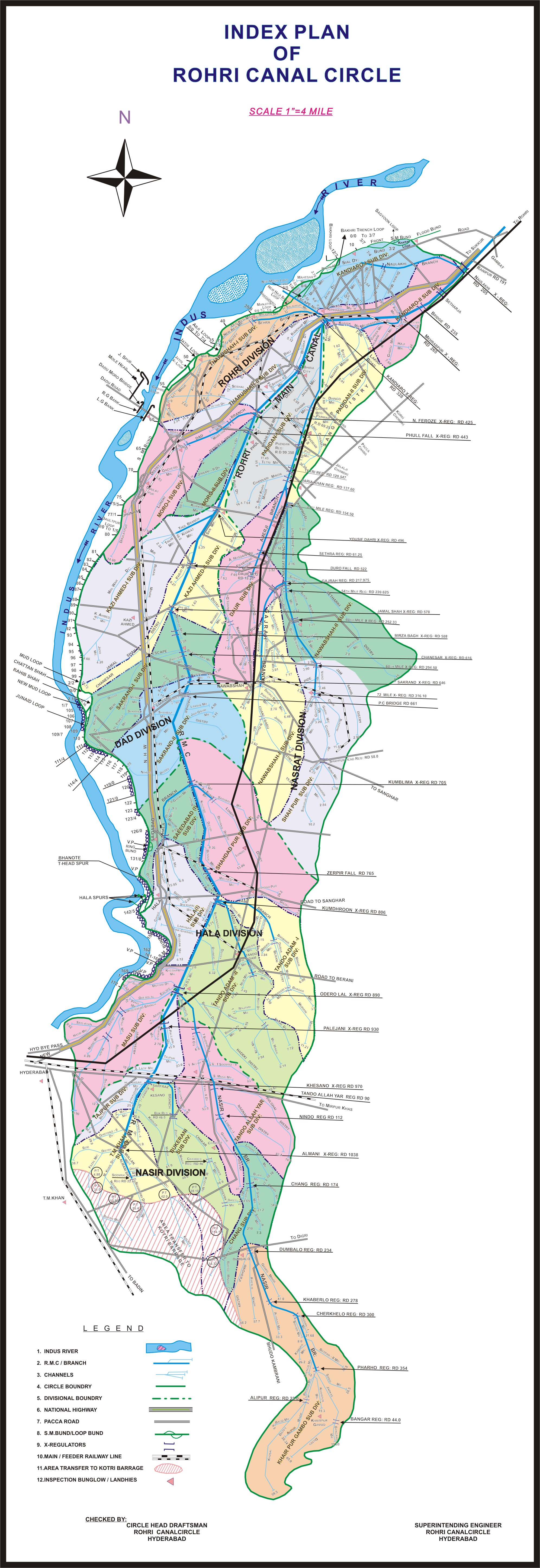
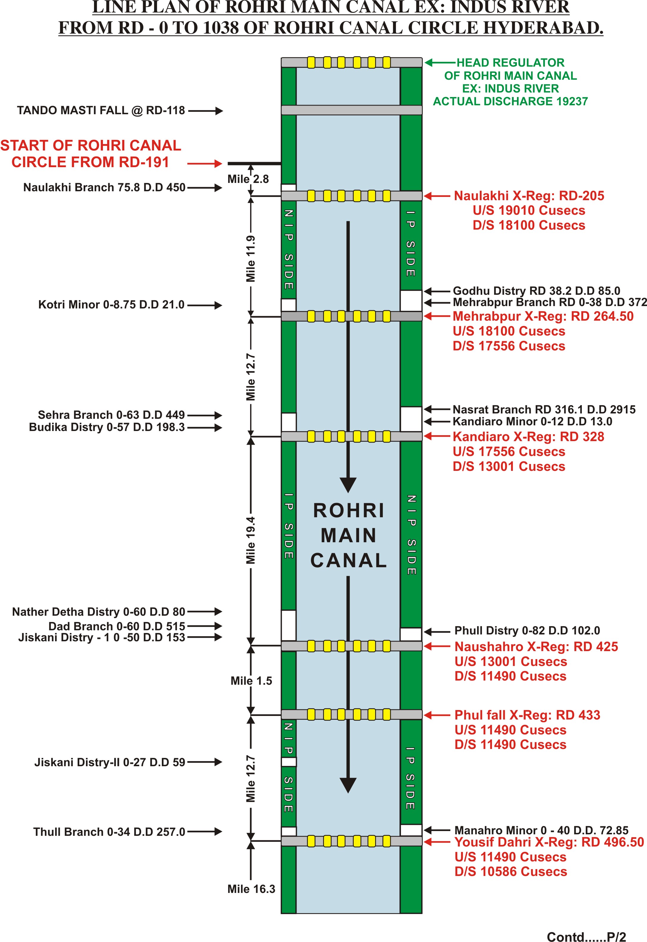
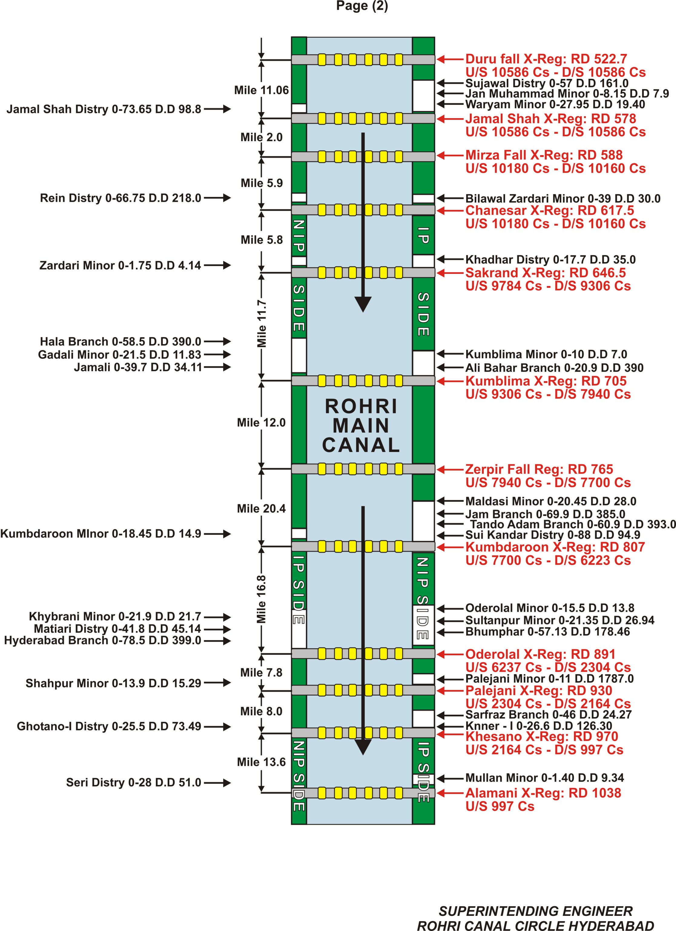
The next largest canal is Rohri Canal which through slightly shorter in length than Nara Canal is yet taking discharge much more than the former. It has culture-able area of 2.6 million acres settled for Irrigation. Cotton crop, wheat crop and sugar-cane crop are the main crops grown on this canal system. All the four canals on the left and two canals on the right bank of River Indus are perennial canals, delivering Irrigation supplies all the year round. The seventh canal namely, Rice Canal on the right side is a seasonal canal which flows only in Kharif Season and is designed for rice cultivation. The N.W. Canal on the right bank provides perennial Irrigation for an area of 9.65 Lac acres out of which 1.84 Lac acres are situated in Baluchistan Province, receiving Irrigation supplies from the canals which originate from the Barrages in Sindh and feed the areas in both the provinces.
| S# | Date | Sukkur Barrage + Balochistan share included | Off taking Channels Position | ||||||||||||||||||||||||
|---|---|---|---|---|---|---|---|---|---|---|---|---|---|---|---|---|---|---|---|---|---|---|---|---|---|---|---|
| U/S Q | D/S Q | Actual W.D | As per 1991 Accord 10 daily W.D | %
(-) Shortage/ (+) Increase |
North West Canal + Balochistan share included | Rice Canal | Dadu Canal | Nara Canal | Khairpur Feeder East | Rohri Canal | Khairpur Feeder West | ||||||||||||||||
| Actual Q | As per 1991 Accord
10 daily W.D |
% (-) Shortage/ (+) Increase |
Actual Q | As per 1991 Accord
10 daily W.D |
% (-) Shortage/ (+) Increase |
Actual Q | As per 1991 Accord
10 daily W.D |
% (-) Shortage/ (+) Increase |
Actual Q | As per 1991 Accord
10 daily W.D |
% (-) Shortage/ (+) Increase |
Actual Q | As per 1991 Accord
10 daily W.D |
% (-) Shortage/ (+) Increase |
Actual Q | As per 1991 Accord
10 daily W.D |
% (-) Shortage/ (+) Increase |
Actual Q | As per 1991 Accord
10 daily W.D |
% (-) Shortage/ (+) Increase |
|||||||
